


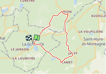

16.3 km | 21 km-effort

User


FREE GPS app for hiking
 SityTrail
IGN / Geographical institutes
SityTrail World
The world is yours!
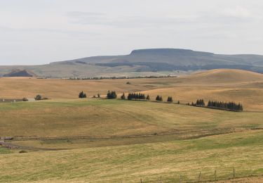
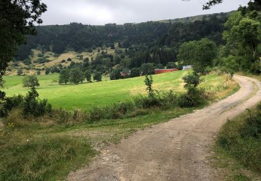
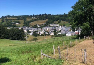
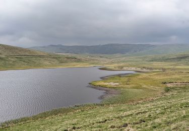
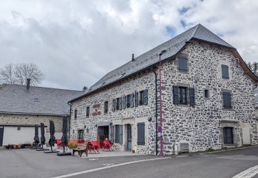
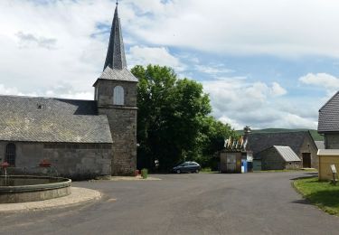
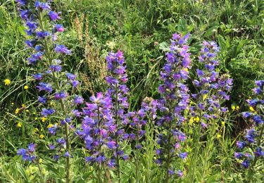
Trail Walking of 14.8 km to be discovered at Auvergne-Rhône-Alpes, Puy-de-Dôme, La Godivelle. This trail is proposed by GilGry.
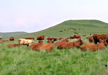
charmante promenade au départ de La Godivelle en passant par les burons de Brion et la cascade de Jassy
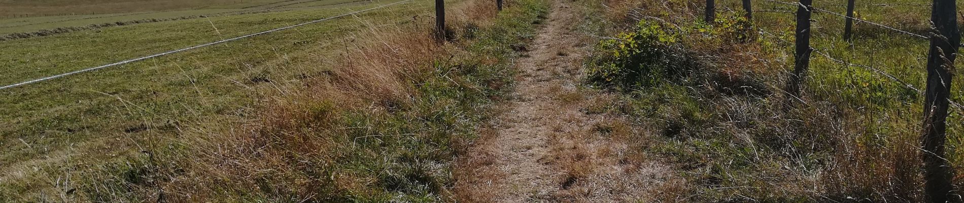
Balisage jaune


Walking
On foot
On foot
Walking
Walking
Walking
Walking
Walking
Walking